File:Terrain tool maped.png
Jump to navigation
Jump to search
No higher resolution available.
Terrain_tool_maped.png (156 × 207 pixels, file size: 16 KB, MIME type: image/png)
Summary[edit]
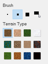
Terrain tool in the Map Editor
File history
Click on a date/time to view the file as it appeared at that time.
| Date/Time | Thumbnail | Dimensions | User | Comment | |
|---|---|---|---|---|---|
| current | 22:57, 2 February 2024 | | 156 × 207 (16 KB) | Imahero (talk | contribs) | oxipng lossless compression |
| 15:48, 24 January 2024 |  | 156 × 207 (18 KB) | Csaros (talk | contribs) | Terrain tool in the Map Editor |
You cannot overwrite this file.
File usage
The following page uses this file: