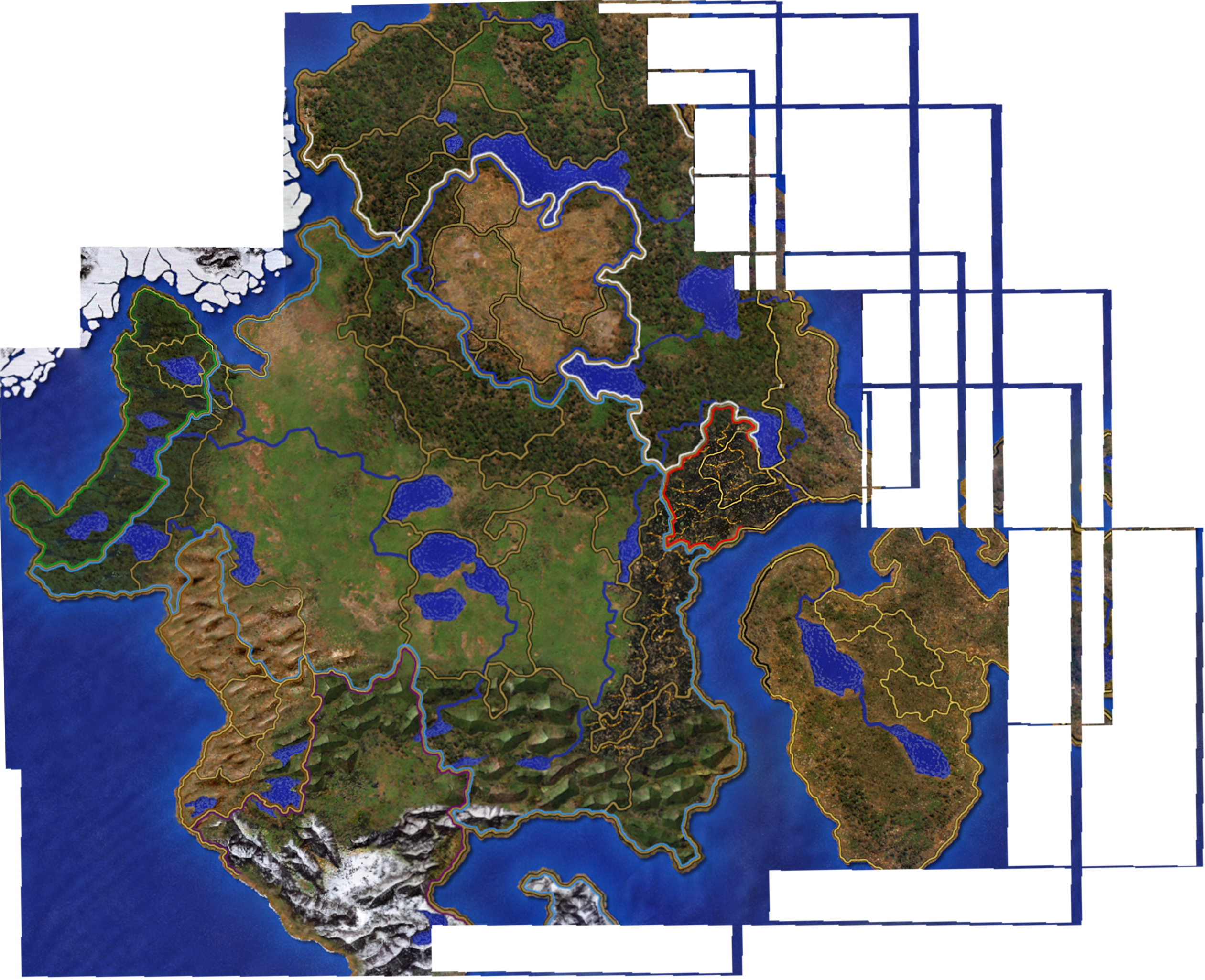
File:Antagarich stitch.png
Size of this preview: 737 × 600 pixels. Other resolution: 2,521 × 2,051 pixels.
Original file (2,521 × 2,051 pixels, file size: 5.7 MB, MIME type: image/png)
This image was made by stitching together the official campaign maps. Notes:
- The country borders are only shown on RoE maps (and not the AB/SoD maps), so do not cover all borders they should.
- The gold "region" borders are not consistent between maps. I did the best I could :)
Observation: You can see a land border between Nighon and AvLee along the North-East coast. This likely extends south through the Land of Giants, which also show a very small amount of the colored border just east of the northernmost part of Eeofol.
To Do
- Add in map from Steadwick's Liberation, which clearly shows additional country borders in east Eeofol and Land of the Giants.
File history
Click on a date/time to view the file as it appeared at that time.
| Date/Time | Thumbnail | Dimensions | User | Comment | |
|---|---|---|---|---|---|
| current | 00:23, 8 October 2025 | | 2,521 × 2,051 (5.7 MB) | Legate (talk | contribs) | |
| 03:43, 1 October 2025 | 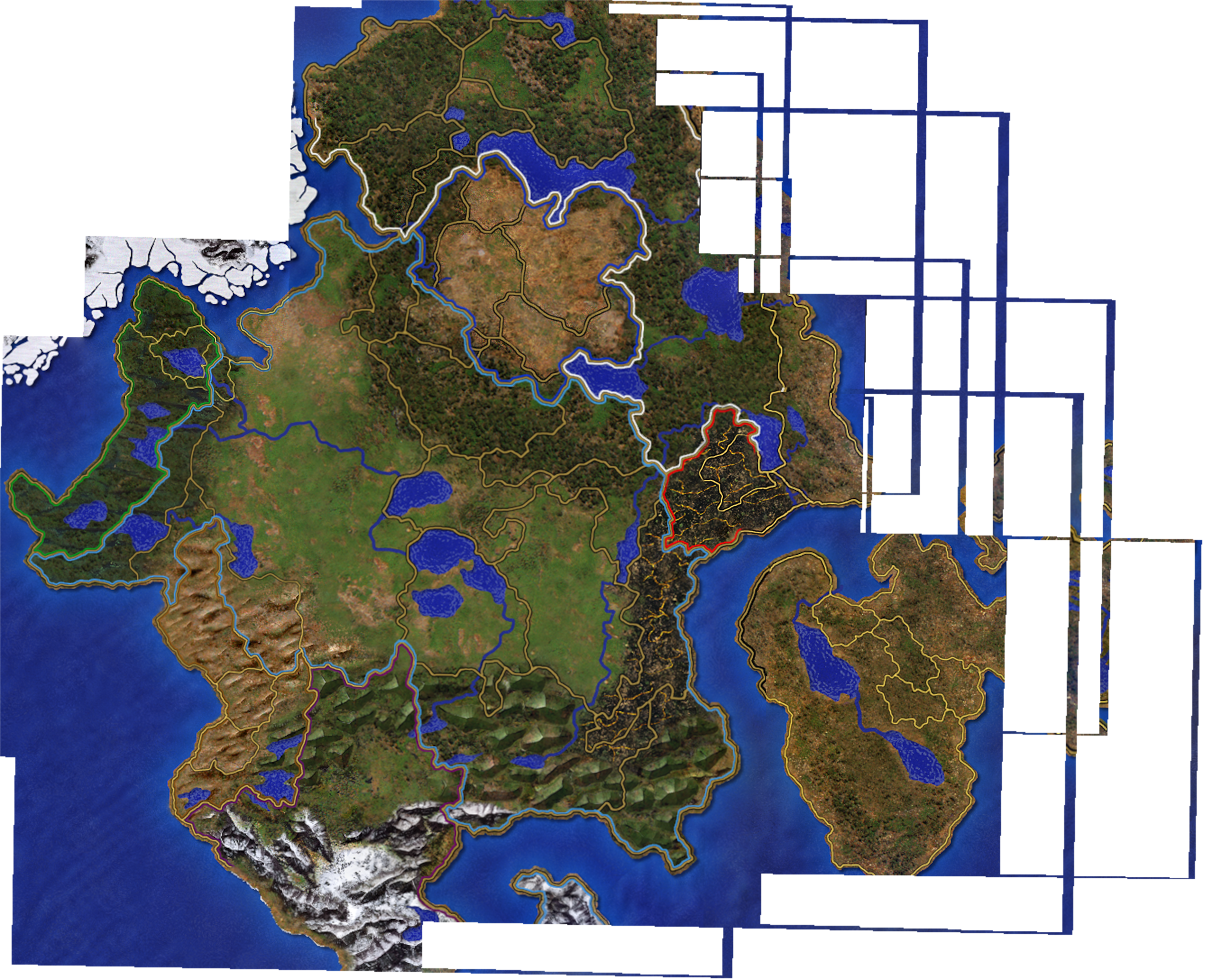 | 2,521 × 2,051 (5.67 MB) | Legate (talk | contribs) | Category: World Maps |
You cannot overwrite this file.
File usage
The following 2 pages use this file: